|
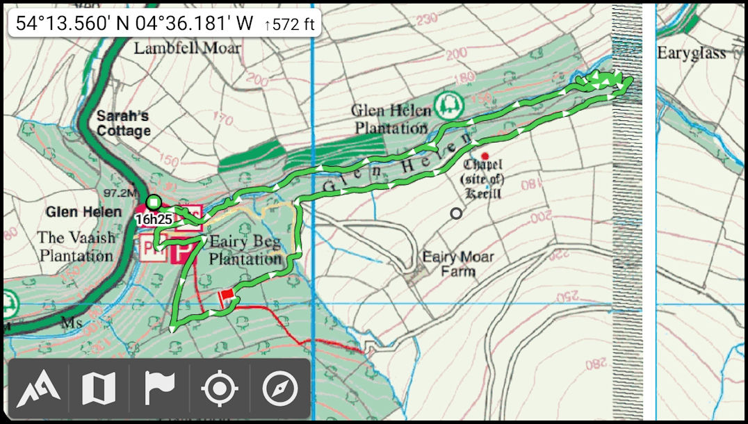
The same walk
overlaid on the IOM Govt Outdoor Leisure map. Overall I would prefer this
map but it's spoiled here by the over large 'facilities' symbols obscuring
the actual map details at the start. What would be really nice would
be a UK Ordnance Survey 1:25,000 map of the island!
|